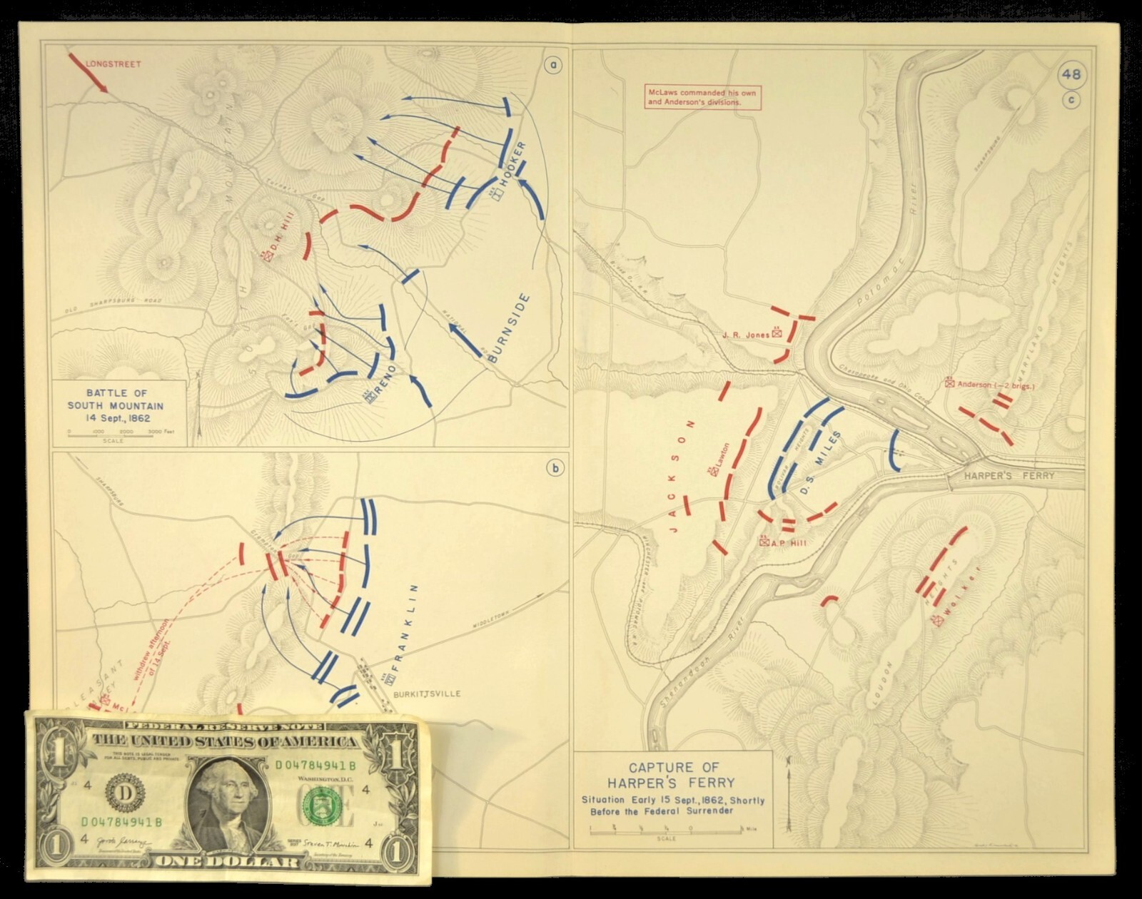
Capture of Harper's Ferry Map Sept 15th 1862 Stonewall Jackson Maryland Campaign For Sale
$19.51

Item Description
This is an Atlas map showing three maps which are part of the Confederate Maryland Campaign which was directed by General Robert E. Lee. One map shows the capture of Harper's Ferry West Virginia on September 15th 1862 by the Confederate troops led by Stonewall Jackson, one map shows the Battle of Crampton's Gap which was on September 14th 1862 and the third map shows the Battle of South Mountain (aka Battle of Boonsboro Gap) which was on September 14th 1862.
- This atlas map was taken from a 1940s atlas.
- This atlas map measures about 16-3/8" x 12-3/4".Please note that the dollar bill is show as a reference for scale.
- The reverse side of this map is blank of any image.
- There is a fold and creasing up and down the center of this map. See the condition description for more information on this map. **
- INCLUDED WITH THIS ATLAS MAP IS A FACSIMILE OF A BASIC MAP SYMBOLS CHART. (See last photo)
When you click on links to various merchants on this site and make a purchase, this can result in this site earning a commission. Affiliate programs and affiliations include, but are not limited to, the eBay Partner Network.